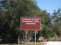
Chandler Slough Management Area
Chandler Slough is a new South Florida Water Management Area
just recently
opened to the public on September 20, 2008 for various recreational
activities
including hiking, biking, hunting, camping and horseback riding. It
consist of
3,700 acres of wetlands, oak hammocks, cypress domes and cow pastures.
You can
access the property from two trailheads located along US Hwy 98 and
Lofton Road,
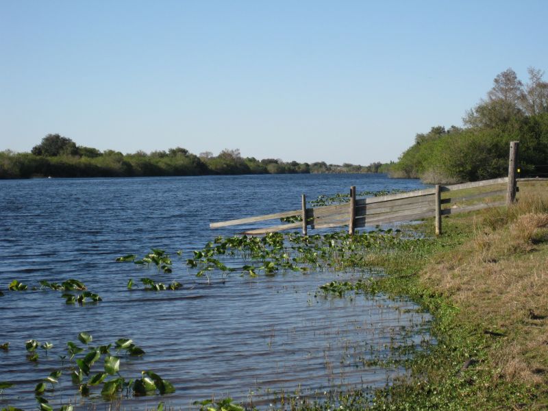
or you can come in by boat anywhere along the Kissimmee River / C-38
canal.
Note: Boats are not allowed onto the property.
Location
Located along the eastern shore of the Kissimmee River in
southwest
Okeechobee County, Florida near Basinger.
Directions
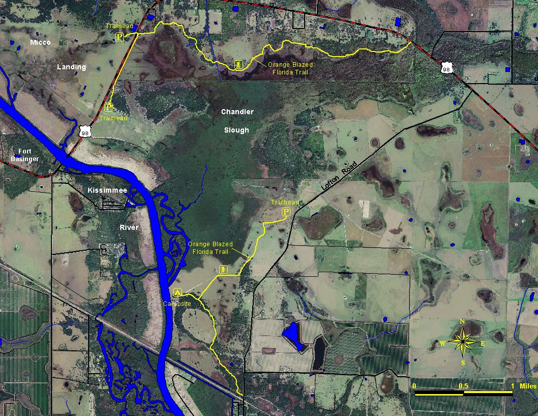
From the town of Okeechobee, go west on US Hwy 98 for
approximately 17 miles. The main park entrance will be on your left
about 0.7 miles before the Kissimmee River Bridge and Fort Basinger.
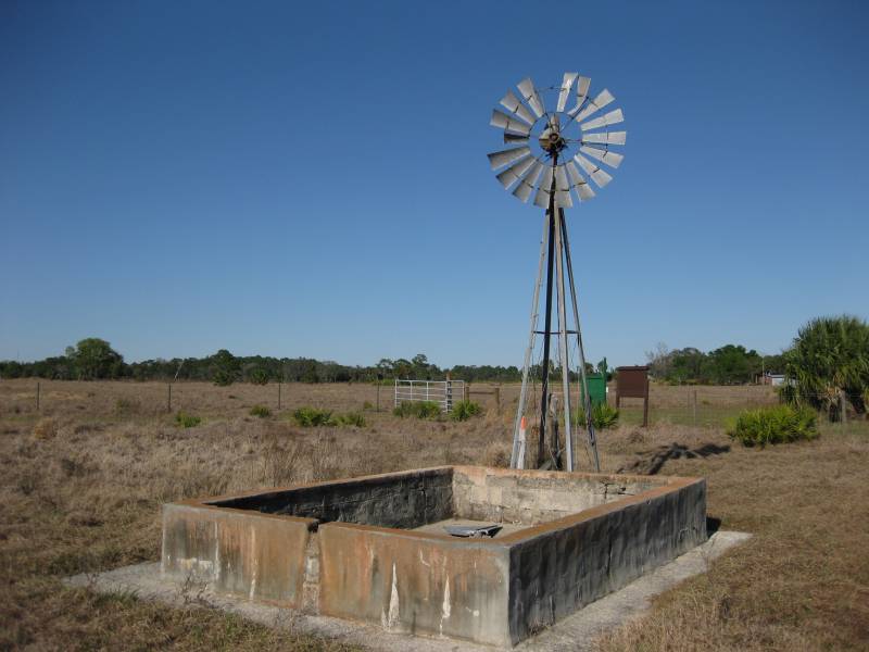
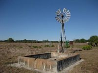
Another entrance is located off of Lofton Road about 2.4 miles from US
Hwy 98. It will be on your right. Look for an old windmill that's near
the trailhead..
Trailheads are located at N27° 22.381 W81° 02.664 and N27°
21.361 W81° 00.861.
Fees
None.
Hiking
Two new sections of the Florida National Scenic Trail now
pass through the Chandler Slough Management Area. The north section is
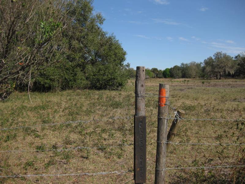
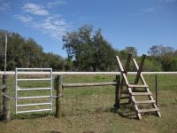
about 4.4 miles long. It begins at the main park entrance off of US Hwy
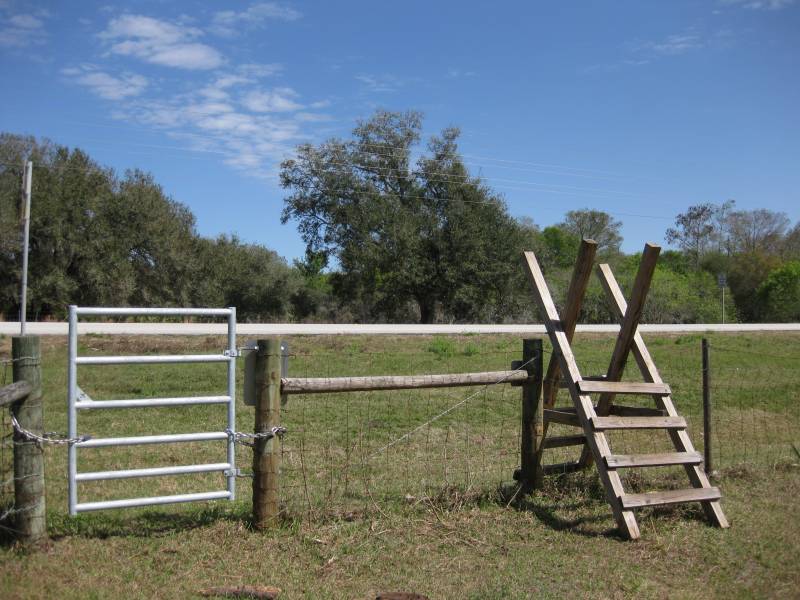
98 and goes over two stiles and through four fence gaps (cowboy gates)
before coming back out onto the same highway.


The southern section is about 2.7 miles long with a 0.2 mile
blue spur trail leading to a primitive campsite along the Kissimmee
River. The orange blazed trail begins at the second park entrance off
of Lofton Road and goes over five stiles and through a fence gate
before coming back out onto the same road.
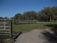
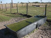
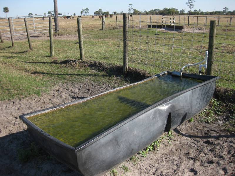
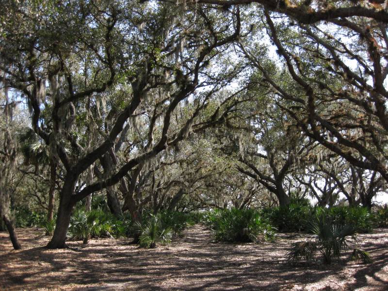
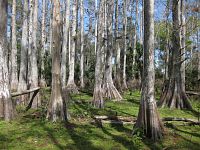
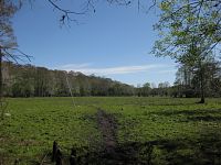
Both sections goes through a lot of open cow pastures that
are interspersed with beautiful old oak hammocks and lush green cypress
areas.

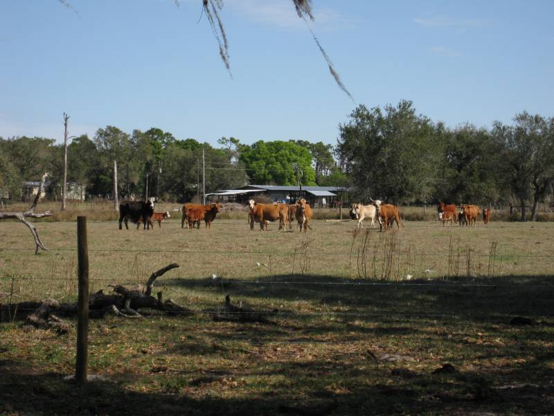
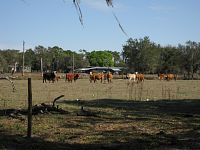
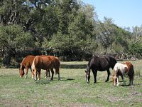
You're likely to encounter lots of horses and cows along the
way. The horses are usually friendly but the cows tend to run away as
soon as they see you. It's best not to approach them if you can avoid
it.
Camping
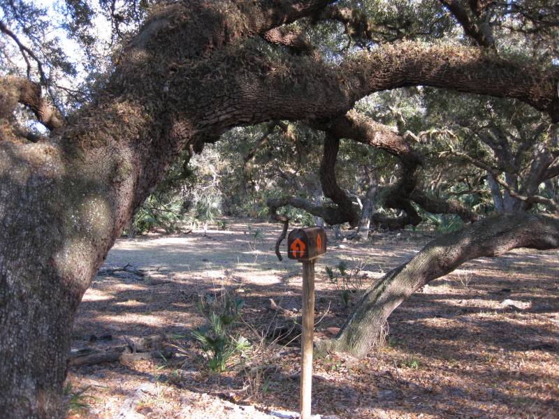
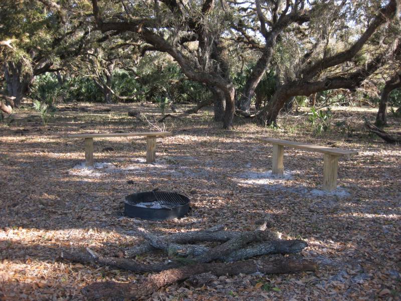
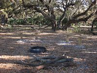
Chandler Slough Management Area has one primitive campsite
located in the southern section along the Kissimmee River. It has a
couple of benches, a fire ring with in-ground grill and a mailbox. The
Florida Trail Assoc uses mailboxes at some of their campsites to hold
logbooks. So feel free to sign in if you wish.


Flowers
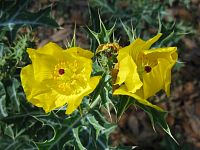
Mexican
Pricklypoppy
Hunting
The Florida Fish and Wildlife Conservation Commission
manages hunting at Chandler Slough. For up-to-date information on
regulations and
current
hunting schedules, please go to MyFWC.com.
| Hunting Schedule 2012 - 2013 |
| Archery |
Sep. 15 - Oct. 14 |
| Crossbow |
Oct. 15 - 19 |
| Muzzle Gun |
Oct. 20 - Nov. 2 |
| General Gun |
Nov. 3 - Jan. 20 |
| Small Game |
Nov. 10 - Mar. 3 |
| Furbearer |
Nov. 3 - Jan. 20 |
| Spring Turkey |
Mar. 9 - 10, 16 - Apr. 21 |
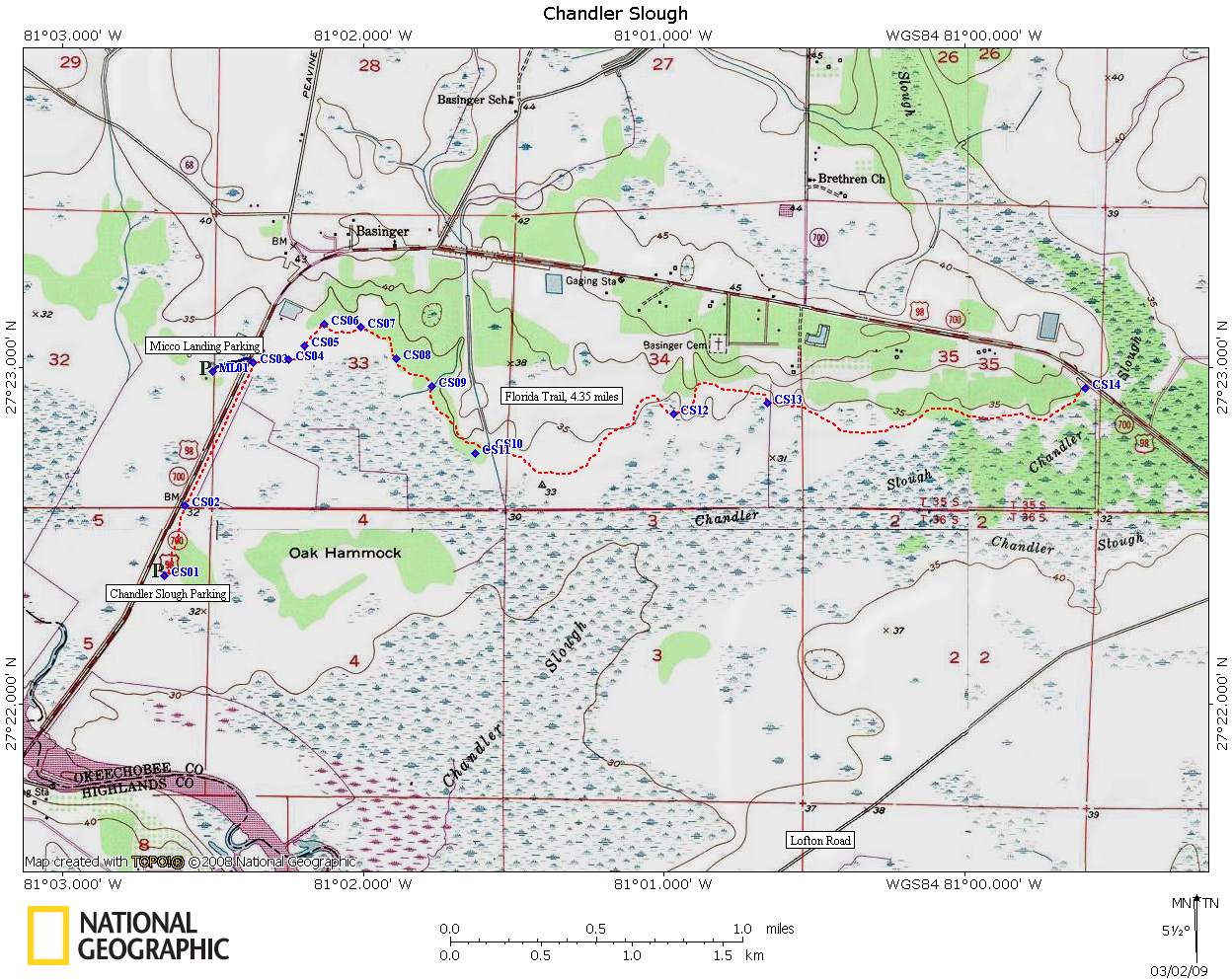
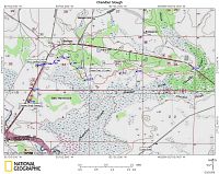
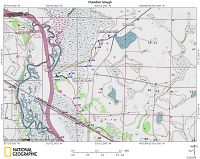
Maps
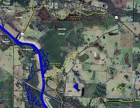
- Topo maps of the north
and south sections.
Includes trails and campsites.
GPS Data
Local Weather

Trail Notes
- 20-Feb-2009: North section is in good condition. Cowboy
gates can be a little hard to open and close. More blazes would be nice
in some places. Particularly where you go across large pastures. The
last half mile of the trail in the south section is overgrown and
you'll need to hope over a fence that does not have a stile yet.
More Pictures
Links
Last
updated on 13-Sep-2012