
Hal Scott is a 9,387 acre preserve and park located near the headwaters of the Econlockhatchee River in east Orange County, southeast of Orlando, Florida. The St. Johns River Watermangement District is the lead manager of the area.
The preserve is open all year long. No closing hours posted. No fees required.
From I-95 exit 75 near Cocoa, head west on SR 520 until you get to the Wedgefield subdivision which is about 17 miles. Turn left on Maxim Parkway and follow road until it ends. Turn left on Bancroft Blvd and then take the next right turn which is Meredith Parkway. Follow road until it meets Dallas Blvd. Turn left and drive for about 1.6 miles. Entrance to park will be on your right.
From Orlando, get on the Beachline Expressway (SR 528) and go east until you reach the exit ramp for Dallas Blvd. Turn left and go north for about 1.5 miles. Park entrance will be on your left. GPS coordinates: N28° 29.180 W81° 05.751.
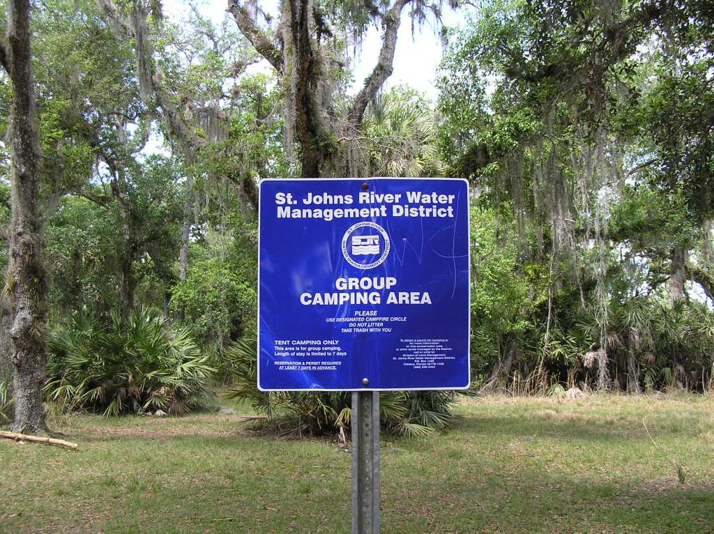
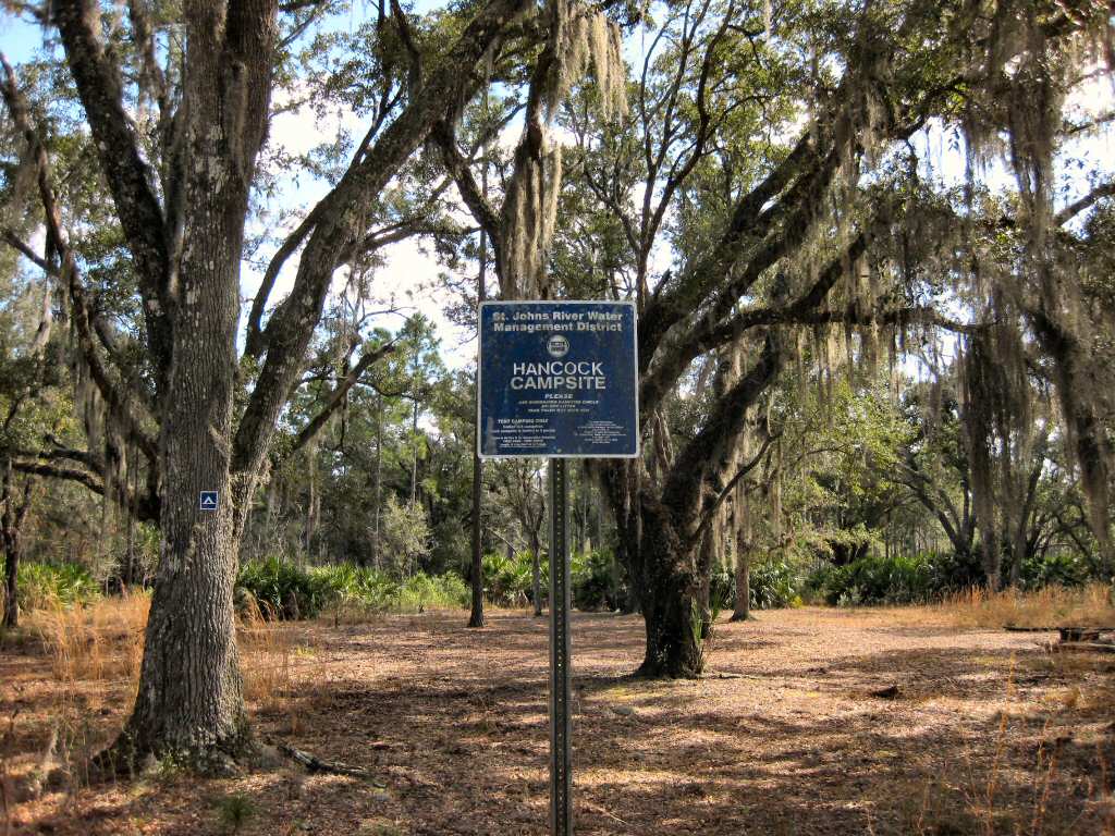
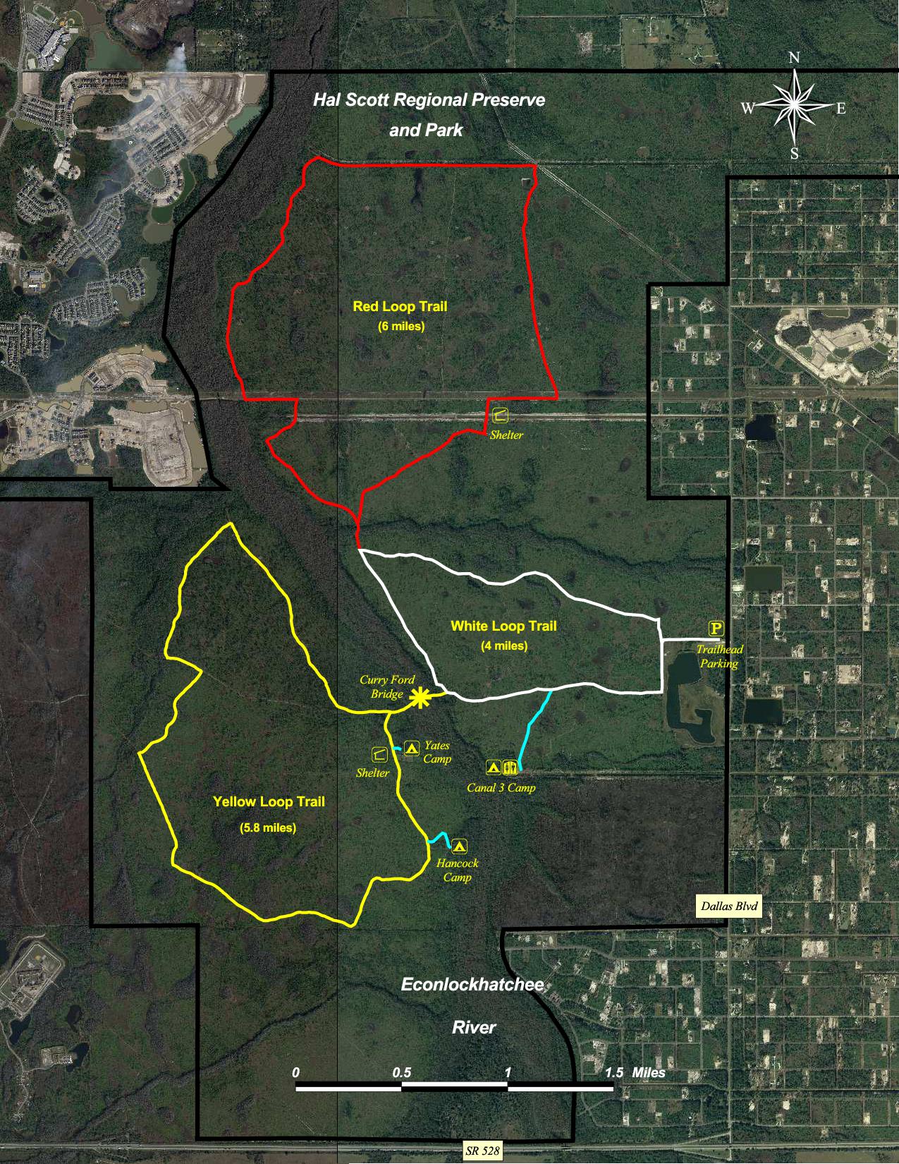
Hal Scott has three primitive campsites situated near the Econlockhatchee River. Two of the campsites (Hancock and Yates) are available on a first come first serve basis. The other campsite (Canal 3) is designated as a group campsite and must be reserved ahead of time from the St. Johns River Water Management District (see contact information below). Maximum stay is 7 days.
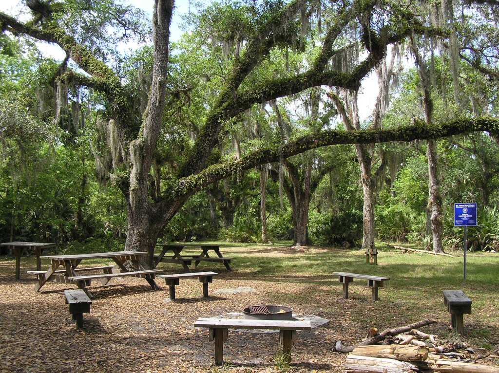
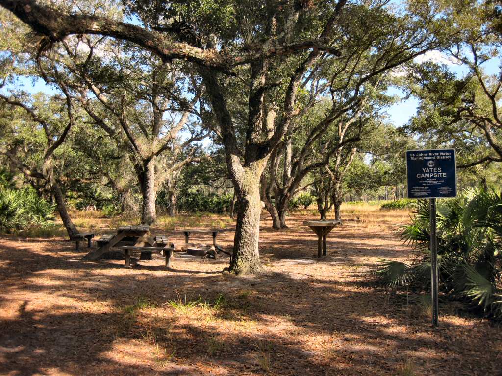
Campsites are for tent campers only. Each is equipped with fire rings and picnic tables. Both the group campsite and Yates campsite have wells with pitcher pumps. Note: Water from these wells are nonpotable (ie. should be boiled or chemically treated). Also a very nice pit privy is available at the group campsite.
Campers with permits may drive a limited number of vehicles to the group campsite. All others must leave their vehicles in the parking lot and hike in. Nearest campsite is about 2 miles.
Group Campsite, also known as Canal 3
Hancock Campsite Yates Campsite
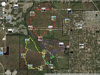
Hal Scott has nearly 16 miles of double-track trails open to hiking, biking and horse back riding. The trails are divided into 3 loops, each blazed with a different color (red, white and yellow). The trailhead is located at the park entrance off of Dallas Blvd. Plenty of parking is available. Trail maps are usually available at the kiosk.
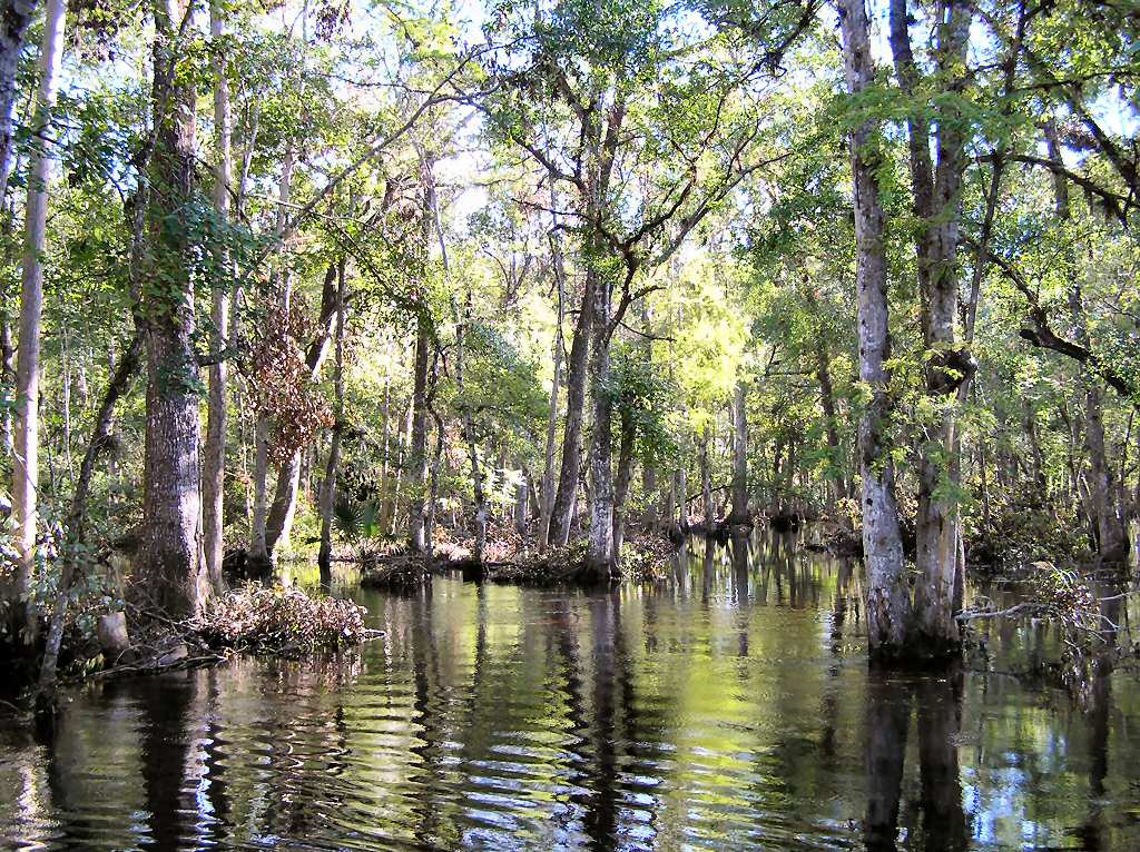
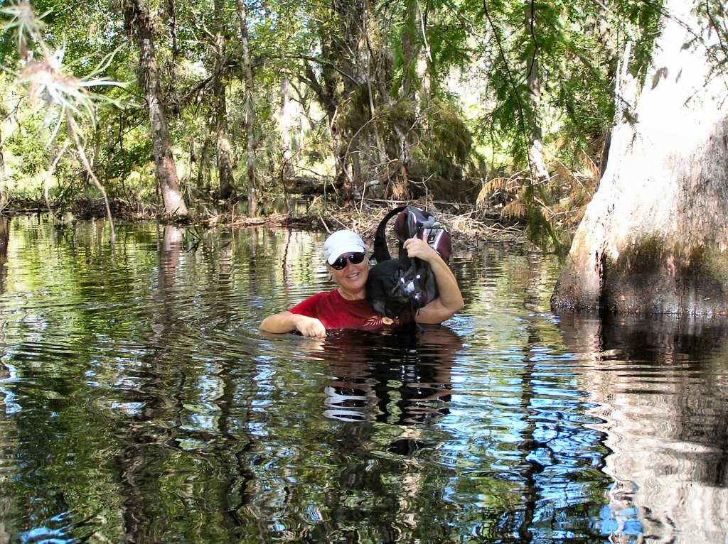
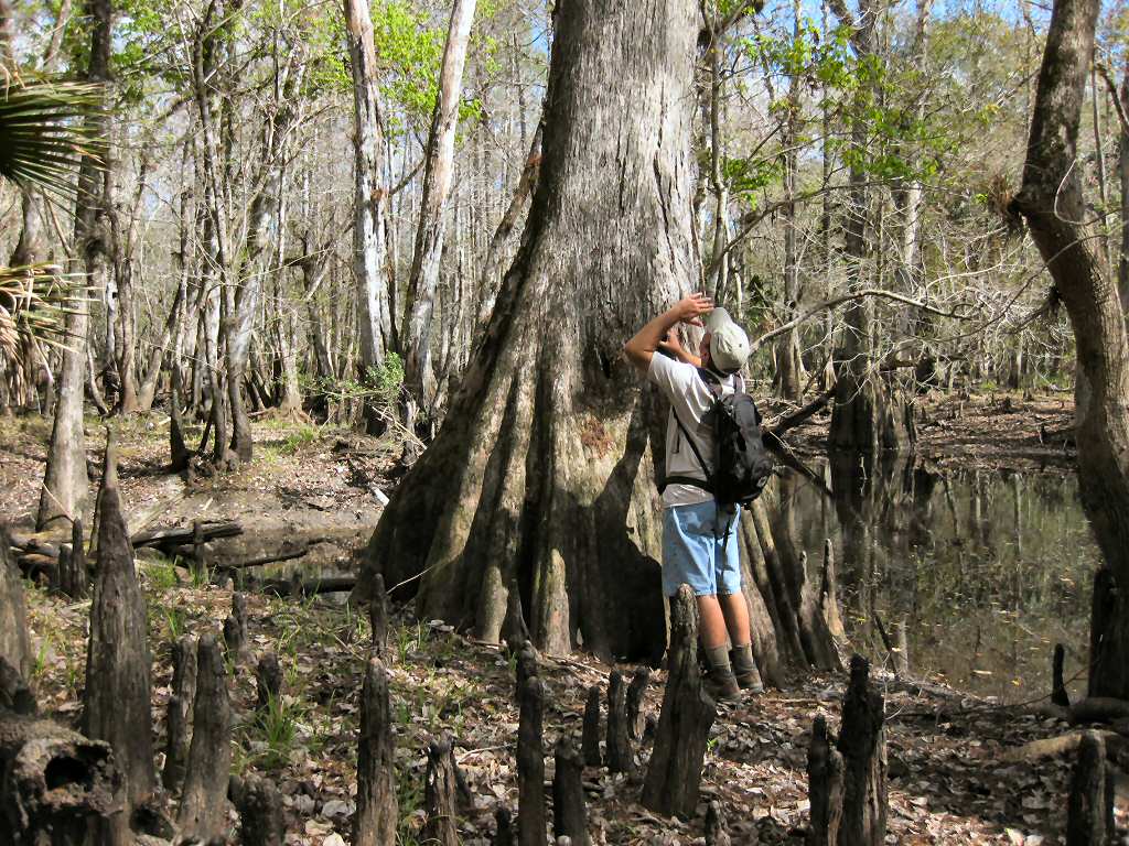
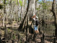
The terrain is mostly wide-open pine flatlands, great for observing flycatcher, bald eagles, red-cockaded woodpeckers, gopher tortoises, bobcats, indigo snakes and other open habitat creatures. You may even get lucky and spot an otter or two playing in one of the nearby streams. Best time to visit is during the cooler months (November through May). During peak rainy season, trails may become flooded especially around the Econlockhatchee River area.
Flooded Trail River Crossing
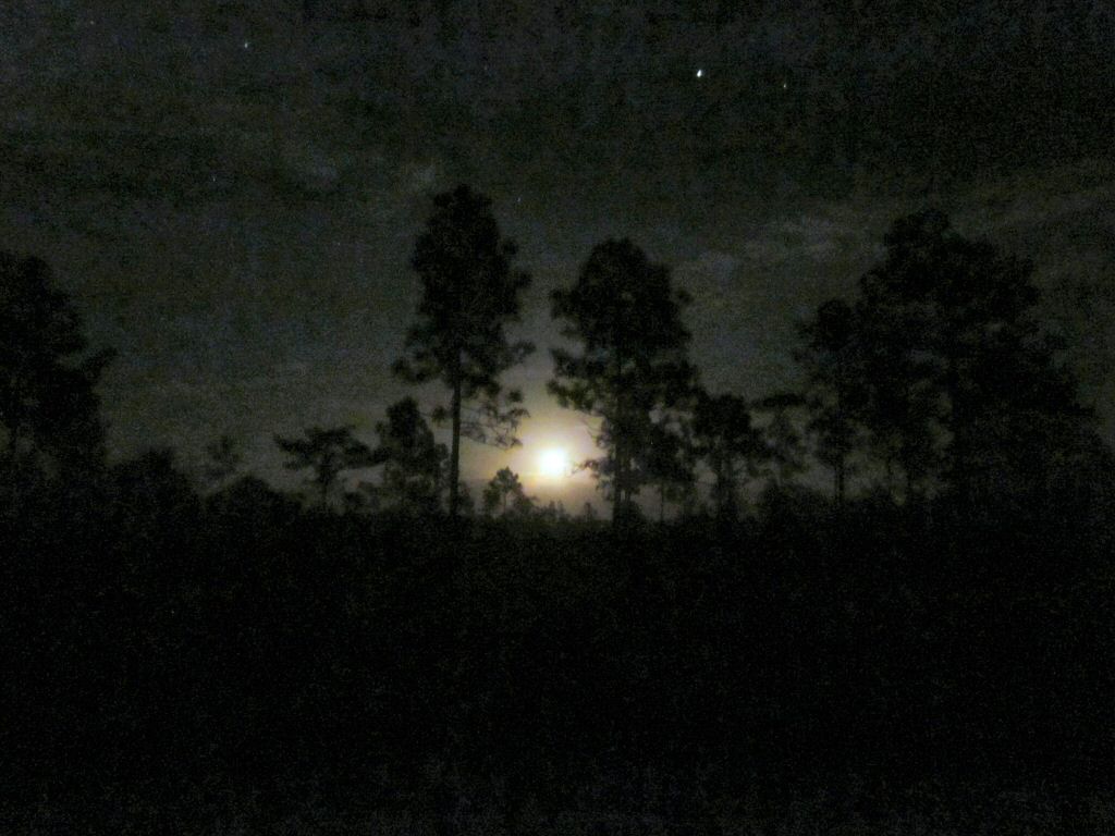
Another great time to visit is during a full moon. Hal Scott doesn't close after sundown, like many public lands do, so you're welcome to hike the trails during the night. Bring a friend or two and enjoy the sights and sounds of the wild under a moon-lit sky. It's an experience you'll never forget.
Full Moon at Hal Scott
Hunting is not permitted in the preserve.
Print Map
Print Map
File Formats Downloads Garmin MapSource trails.gdb, trails.mps TopoGraphix ExpertGPS trails.gpx Google Earth trails.kmz National Geographic TOPO! trails.tpo
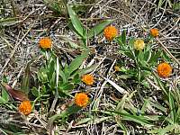
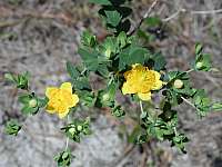
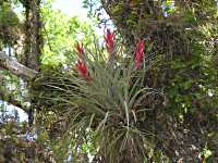
Atlantic St. Johns Wort Bog Bachelor's Button White-Topped Aster 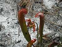
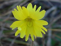
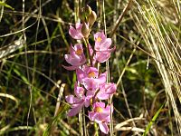
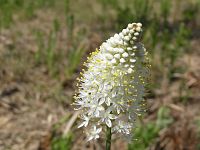
Hooded Pitcher Plant Pickerelweed Myrtleleaf St. Johns Wort Yellow Butterwort Multi-Flowered Grass Pink Crow Poison
St. Johns River Water Management District
P.O. Box 1429
Palatka, Florida 32178-1429
(386) 329-4404
Last updated on 18-Mar-2014