Rock Springs Run State Reserve
Rock Springs Run State Reserve consists of 13,500
acres of land located between the scenic Wekiva River and the
cool spring
waters of Rock Springs Run. It offers a number of
recreational opportunities
for the outdoor enthusiast including hiking, wildlife viewing, off-road
bicycling,
horseback
riding and primitive camping.
Location
Located in south Lake County and north Orange County about
16 miles west of Sanford, Florida.
Directions
From I-4 exit 51, go west on State Road 46 for about 7.5
miles. Entrance will be on your left just after you go over the bear
crossing underpass. GPS coordinates: N28° 48.627 W81° 27.452.
Hours
Open from 8:00 a.m. to sundown daily.
Fees
Self pay at the entrance kiosk.
$3.00 per vehicle up to 8 passengers.
Pet Policy
Pets are allowed in the reserve as long as they are
on a
hand-held, six foot leash. Pets are not allowed in the primitive
campsites.
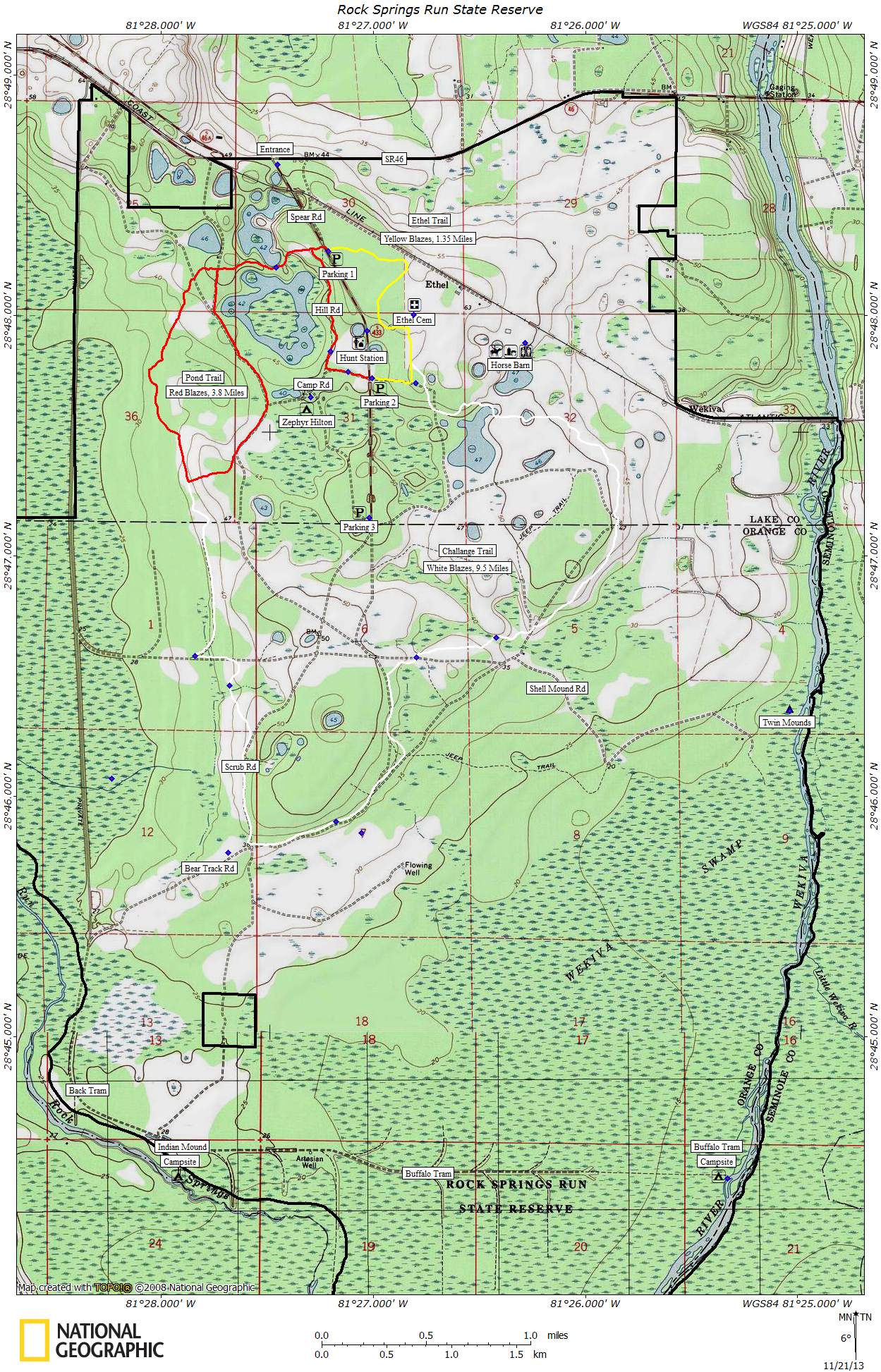
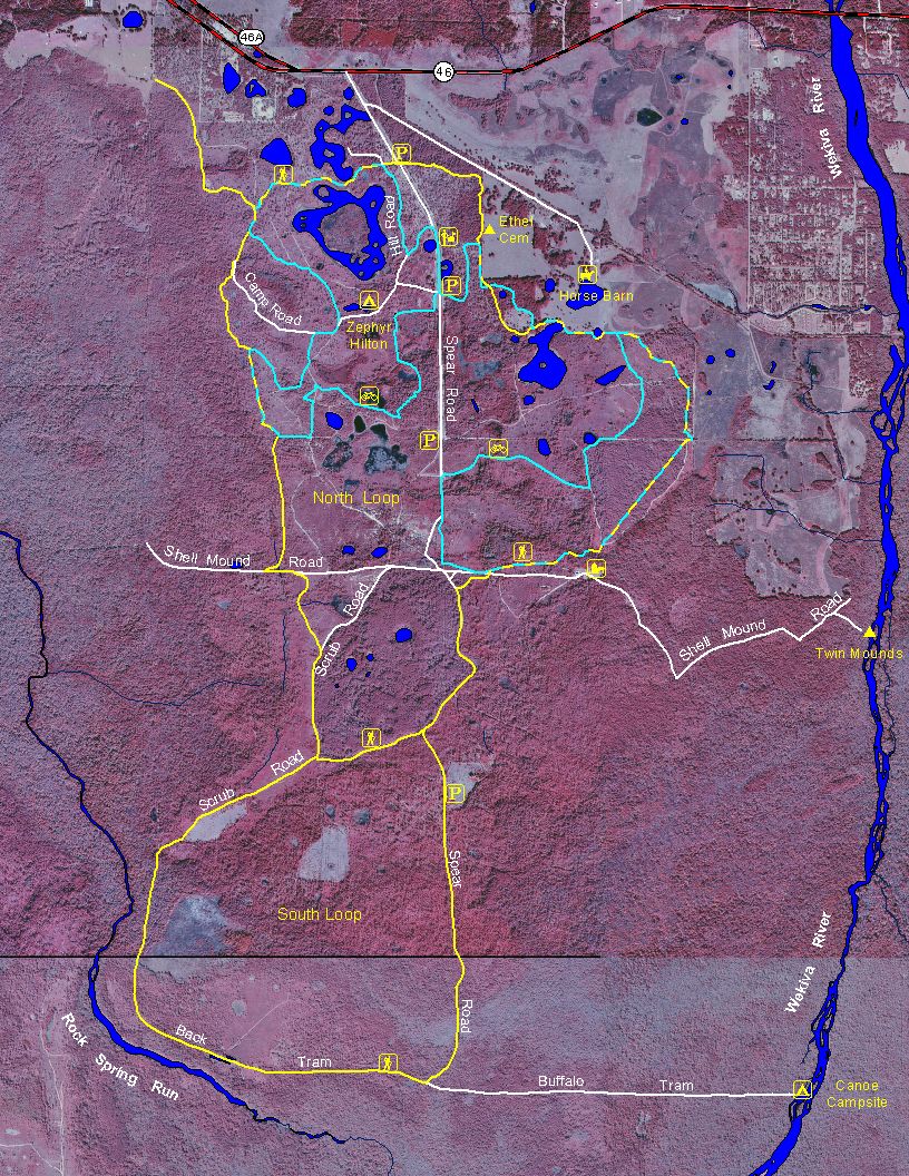
Hiking & Biking
Rock Springs Run State Reserve has over 14 miles
of multi-use hiking / bike riding trails. The trails are divided into
two loops: a 3.8
mile Pond Trail (blazed red) and a 9.5 mile Challange Trail (blazed
white). There's also a 1.3 mile trail (blazed yellow) that
takes you out to the old Ethel cemetery. All three trails are
accessible from Parking Area #1 and #2 off of Spear Road (the
entrance road). Note: You may also see other
colored blazes along these trails. For example, green blazes
indicate you are on a horseback riding trail. Light
blue blazes were used at one time to mark the old mountain bike routes.
|
|

|
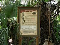
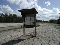
| Trailhead
Kiosk |
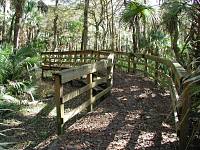
Ethel
Cemetery |
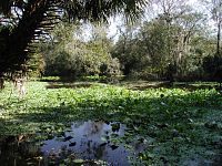
Camping
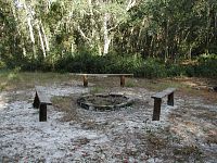
The reserve has two primitive canoe campsites:
Indian Mound (N28°
44.424 W81° 28.008) and Buffalo Tram (N28°
44.412 W81° 25.332). Both are located along the beautiful
Wekiva River. Reservations are required (see contacts below).
Each is equipped with fire rings. All water must be treated.
No vehicle access available. Canoe and kayaks can
be launched from Wekiwa
Springs State Park or other nearby liveeries, but not from
the reserve itself.
|
|
| Buffalo
Tram Campsite |
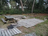
Primitive camping is also available for horseback
riders. Reservations are required (see contacts
below). Each campsite is
equipped with fire rings, grills and benches. Water is also available
from a nearby electric well pump.
 |
 |
| Zephyr
Hilton Campsite |
|
History
There's a nice little interpretive boardwalk built
next to
an Indian "kitchen midden" known as Twin Mounds. Not too many people
probably know about this place. It's quite a ways off the beaten path
(about 2 miles from the nearest hiking trail), It's located at the east
end of Shell Mound Road which is normally closed to vehicles except
during hunting periods.
Hunting
The Florida Fish and Wildlife Conservation Commission
manages hunting at Rock Springs Run. For up-to-date information on
regulations and
current
hunting schedules, please go to MyFWC.com.
| Hunting Schedule 2013 - 2014 |
| Archery |
Sep. 27 - 29, Oct. 4 - 6 |
| Muzzle Gun |
Oct. 19 - 21, 25 - 27 |
| General Gun |
Nov. 8 - 10, 15 - 17 |
| Small Game |
Nov. 30 - Dec. 1, 7 - 8, Jan. 4 - 5 |
Maps
|

|
| Old Aerial Map (2001) |
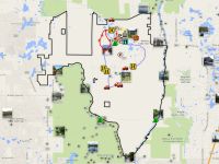 |
| Photo
Map |
GPS Data
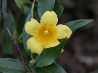
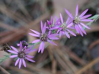
Flowers
Local Weather

Trail Reports
- 2013-11-19: First mile of the Pond /
Challange trail is in very good shape, but after that the trails
quickly deteriorate. Some of the plank walks and foot bridges have
fallen into disrepair. Blazes are missing in a lot of the sections.
However, I did notice some recent mowing along the Challange trail.
Hopefully someone is trying to restore this once beautiful
trail system.
- Old Trail Notes
Contacts
- For Horseback Riding call Rock Springs
Run Trail Rides at (352) 266-9326
- For Primitive Canoe Camping call the park office
at (407) 884-2008.
- For Primitive Horse Camping call the ranger station at
(407) 884-2009.
Links
Last
updated on 21-Nov-2013