Bull Creek Wildlife Management Area
The Bull Creek Wildlife Management Area consists
of 23,646 acres of mostly open pine lands
and wetlands surrounding the confluence of Bull Creek
and Crabgrass Creek. The property is situated in the eastern half of
Osceola County, Florida near the town of Hollopaw.
Recreational activies include hiking, biking, kayaking,
fishing,
horseback riding and seasonal hunting.

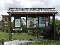
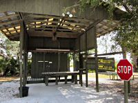
Entrance sign and
information kiosk
Directions
To
Crabgrass Road Entrance:
From Interstate 95, take exit 180 and head west on US Hwy
192 for about 19.4 miles. Turn left on Crabgrass Road. Follow dirt road
for about 5.7 miles until it ends. Entrance to Bull Creek WMA will
be on your left. GPS coordinates: N28°
05.061 W80° 58.031.
Hours and Fees
Area is open from dusk to dawn, 365 days of the year. No
entrance fee required. Visitors must sign in and out at the kiosk
when entering and leaving the property.
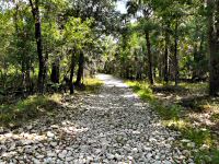
Hiking
A 13.8 mile section of the Florida National Scenic Trail
passes through the Bull Creek WMA. The section starts at the Levee 73
gate
on US Hwy 192, crosses the scenic Crabgrass Creek, then follows the
abandoned Union Cypress Railroad along Bull Creek before ending at the
Forever Florida crossover. A 6.4 mile white-blazed trail picks up from
there and loops back north, passes the main entrance to the WMA before
merging back into the FNST near Cemetery Road.

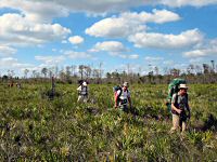

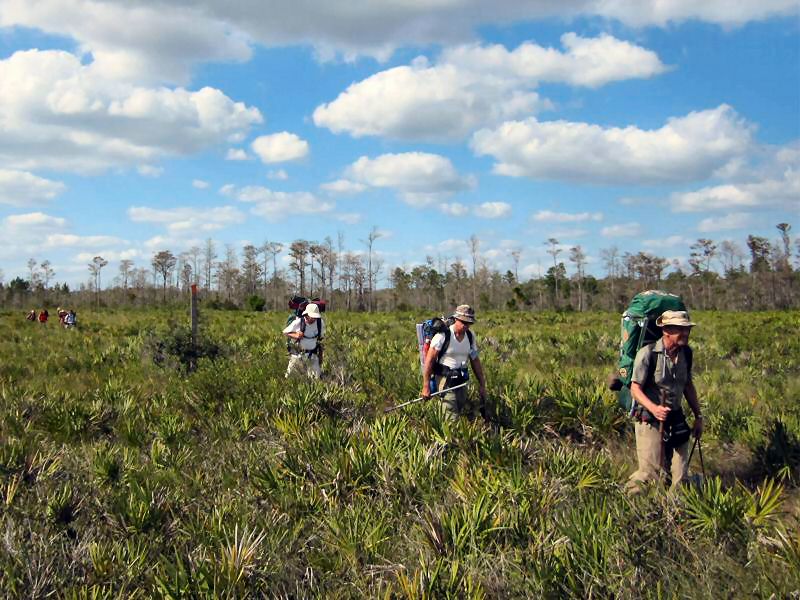
Backpackers along the
Florida National Scenic Trail
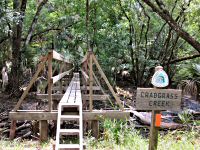
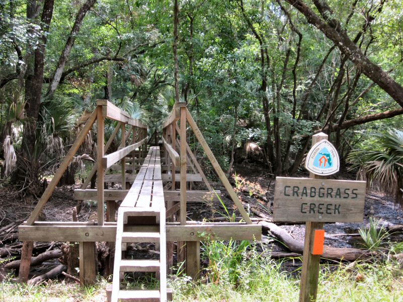
New and the old
Crabgrass Creek Bridge. Rebuilt in 2008.

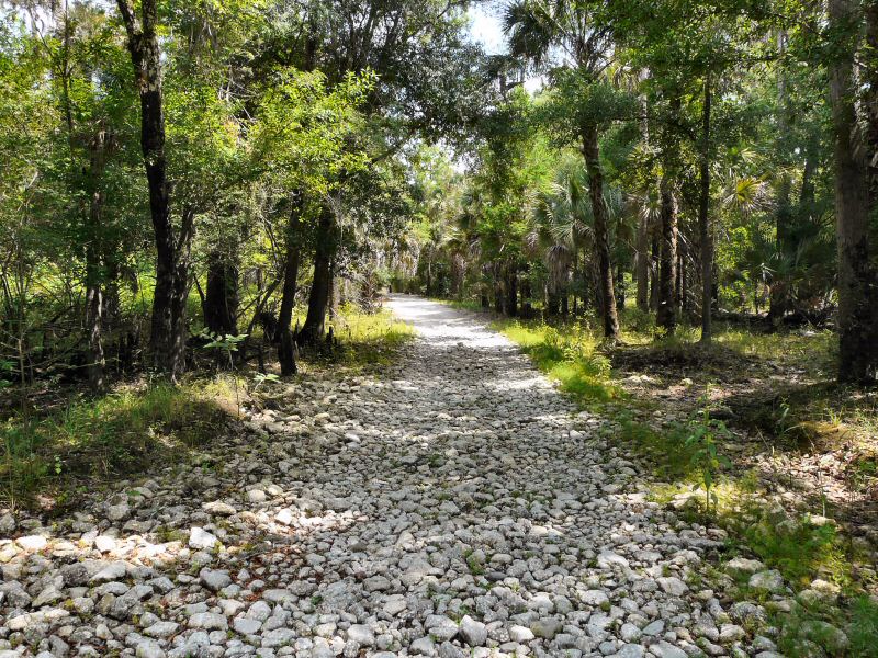
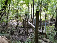
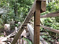
Foot Bridges along the
old Union Cypress Railroad Grade
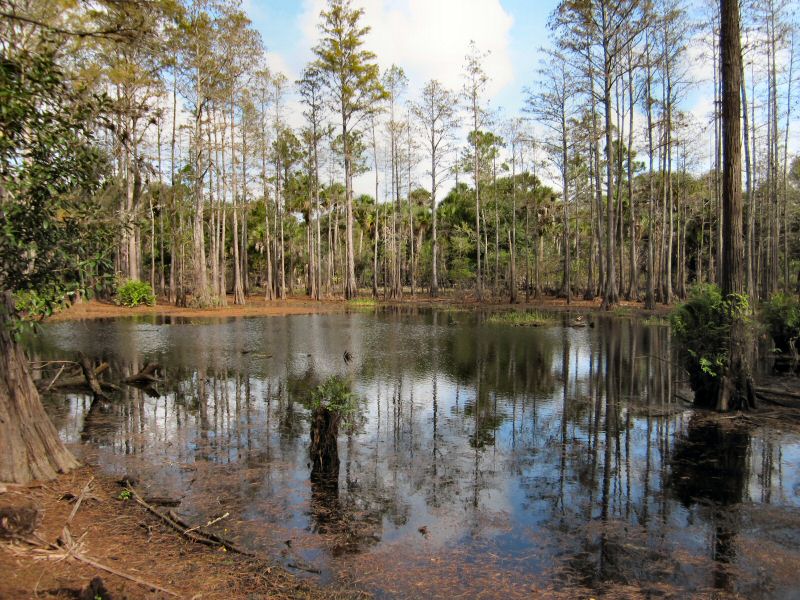
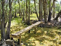
Yoke Branch

Cypress Swamp
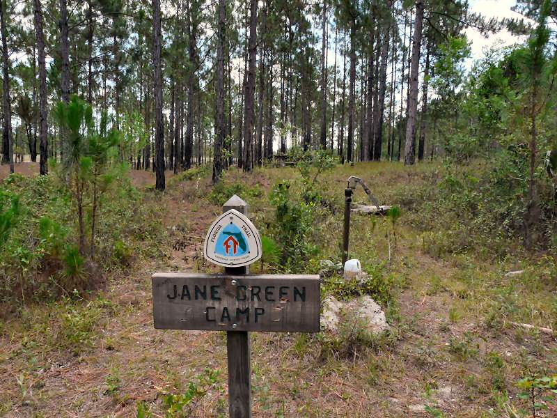
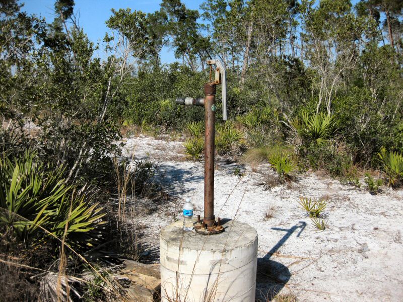
Camping
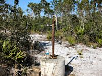
Bull Creek WMA has two primitive campsites for
thru-hikers on the Florida National Scenic Trail. One is located on the
north end of the property near where the trail crosses Crabgrass Creek.
This campsite is known as Jane Green. The other
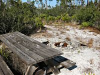
campsite, Little Scrub, is on the south end about 0.7 miles
northwest of Billy Lake in a patch of scrub oak. Both campsites are
equipped with fire-rings, pitcher pumps and picnic tables.


Jane Green Campsite

Little Scrub Campsitehttp://www.floridatrail.org/Florida-Trail/centralflorida/BullCreek.html

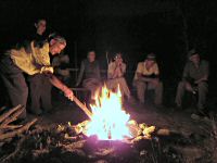
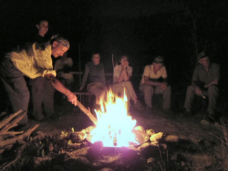
Overnight camping at
Bull Creek
Note: This area also has a large hunting campground located
at the
entrance off of Crabgrass Road. The campground is only open during
hunting season and is limited to tents, trailers or self-propelled
camping vehicles. A pitcher pump and two pit-toilets are
available (bring toilet-paper).
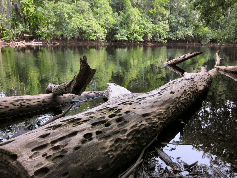
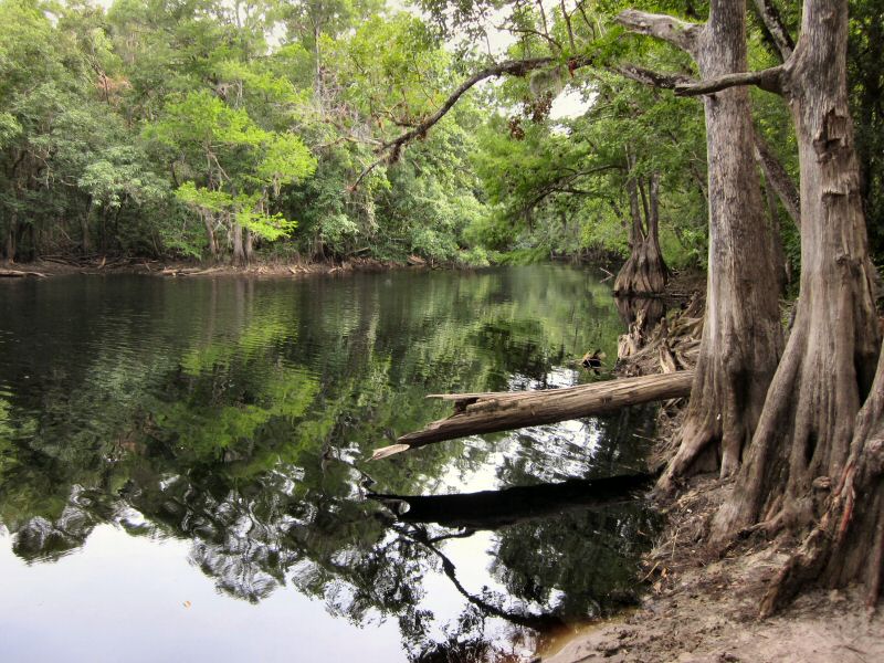
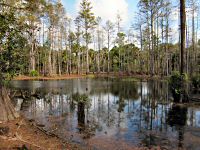
Fishing
Probably the nicest place to see in the Bull Creek WMA is the scenic
Billy Lake. Its cool refreshing waters are a welcome sight after coming
off the dry open pinelands. It's a fairly small lake but the cypress
lined shores offer plenty of places to fish from. You can also launch a
small non-motorized boat at the end of Billy Lake Road.


Billy Lake
Another nice place to fish is along the levee near
Jane Green
Creek and the flood control gates. Be prepared for a long hike. It's
about 2.6 miles from the nearest parking area long US Hwy 192.


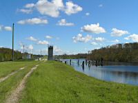
Flood Control
Structure (S-161A) along Levee 73 near Jane
Green Creek in 2004
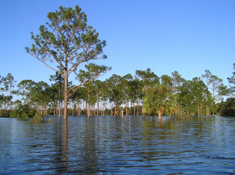
Canoeing and Kayaking
If you have a canoe or a kayak, probably the best time to go
to Bull Creek is right after a hurricane has dumped a ton of
rain on the area. As you can see in the pictures below, it
can be quite a spectacular sight as most of the palmettoes and shrubs
even trail blazes will be completely under water leaving just the tops
of trees to be seen.


Bull Creek in 2004
after 3 hurricanes hit Florida.
Other
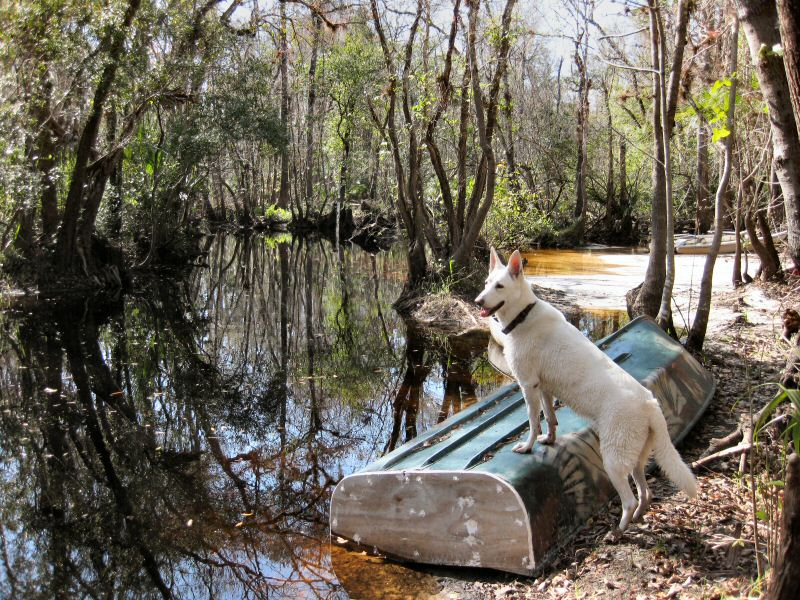
times you may just want to bring your boat just to get across Ronnie
Ford or Mizell Ford. Hunters commonly do this so they can get to
hunting areas on the other side of Bull Creek.


Ronnie and Mizell Ford
Unusual Sights
At one time Bull Creek had its very own astronomical
observatory located just south of the entrance near the Hunters
Campground. It was built back in 1989 by the Florida Institute of
Technology. The 26-foot domed building housed a 25-inch
diameter
telescope and several computers. Each night the
computers would
automatically open the dome and take pictures of the stars. Scientest
and researchers could also remotely control the telescope and download
the imagery via a phone line back to the F.I.T.'s Melbourne campus. The
dome was dismanteled several years ago after the school's 20 year free
lease on the land expired.
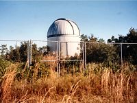
Bull Creek Astronomical Observatory
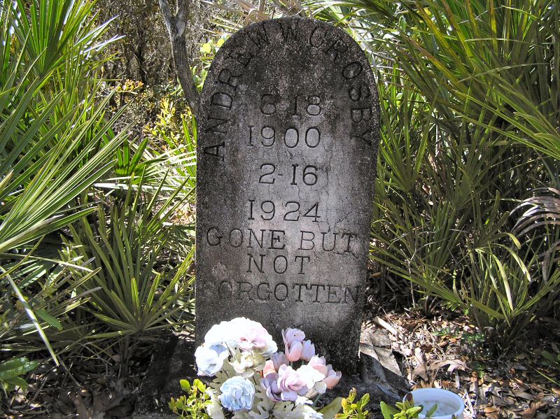
One of the unusual things you might come across while
visiting Bull Creek is the old Crabgrass Creek Cemetery. It's located
in an oak hammock near the end of Cemetery
Road. The most prominent and oldest tombstone
is Kathrine Lanier's dated January 15, 1895. Interestingly, if you look
at some of the old maps of this area, there was a town called Lanier
just south
of Billy Lake.

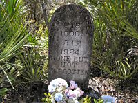
Crabgrass Creek
Cemetery
Jeep for sale! Good condition. Just
needs an engine, some wheels and other nonessential parts.
This old wreck can be found hidden in the palmettoes between Crabgrass
Creek and the cemetery.

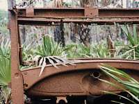
Old Jeep
Here lies Christine -- an old car lying upside down near
Crabgrass Creek.
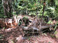
Christine
Hunting
The Florida Fish and Wildlife Conservation Commission
manages hunting at Charles H.
Bronson State Forest. For up-to-date information on regulations and current
hunting schedules, please see MyFWC.com.
Checkstation
| Hunting Schedule 2013 - 2014 |
| Archery |
Sep. 14 - Oct. 13 |
| Muzzle Gun |
Oct. 19 - 21 |
| General Gun |
Nov. 2 - Dec. 29 |
| Small Game |
Dec. 30 - Mar. 2 |
| Spring Turkey |
Mar. 8 - 9, Mar. 15 - Apr. 20 |
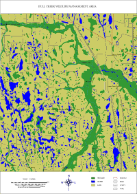
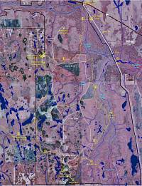
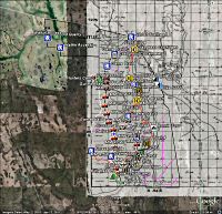
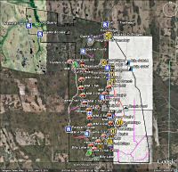
Maps
These are maps I've created for the Bull Creek
area. You can enlarge them by clicking on the associated
thumbnail
image. Note: To print a map you may need Adobe Reader
installed. Also some of these maps might require Google Earth or
the plug-in to be installed.
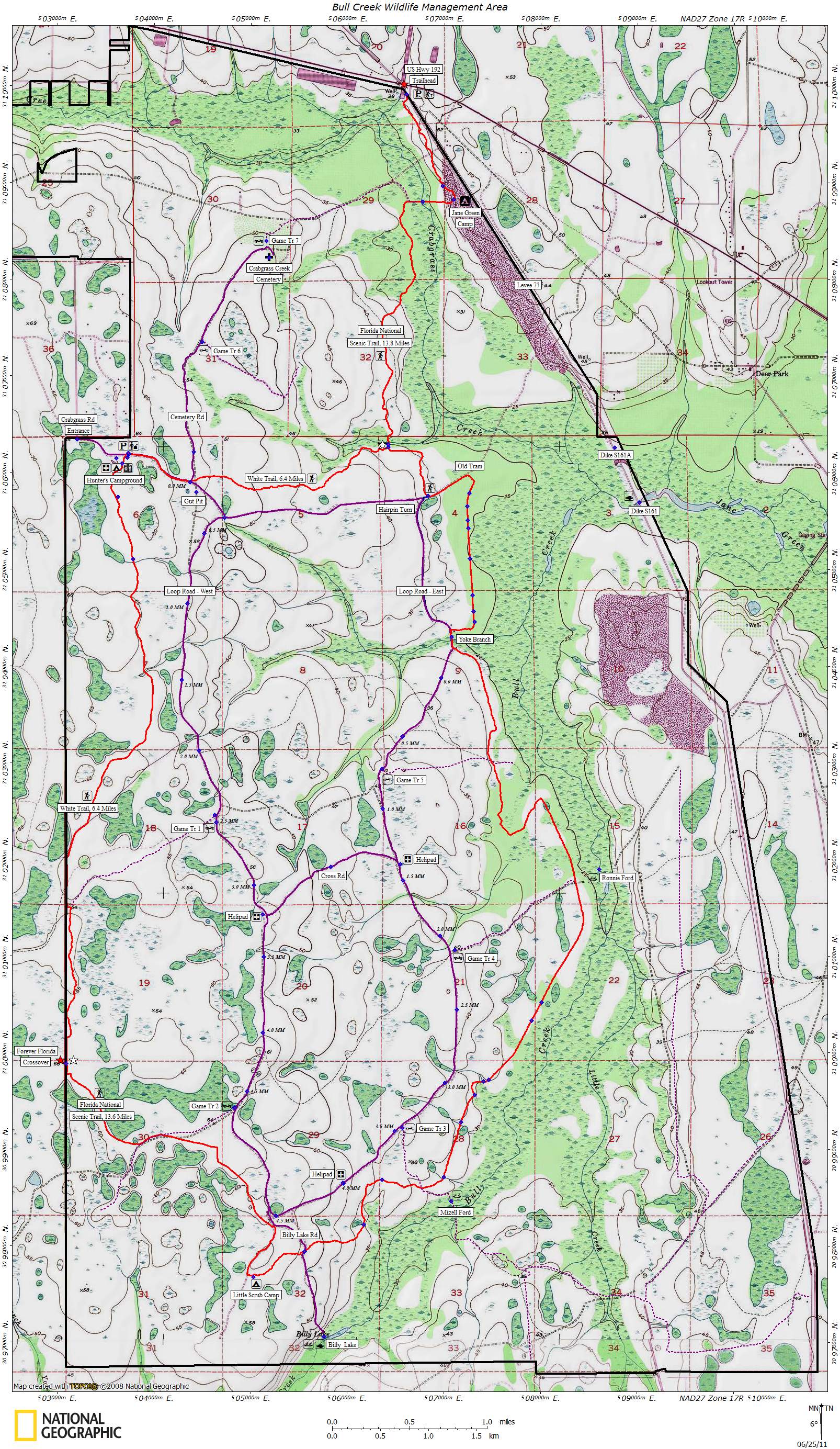
- Topographical map showing most of Bull Creek minus the
northwest
corner. Map features include hiking trails, small game season trails,
campsites and other points of interest.
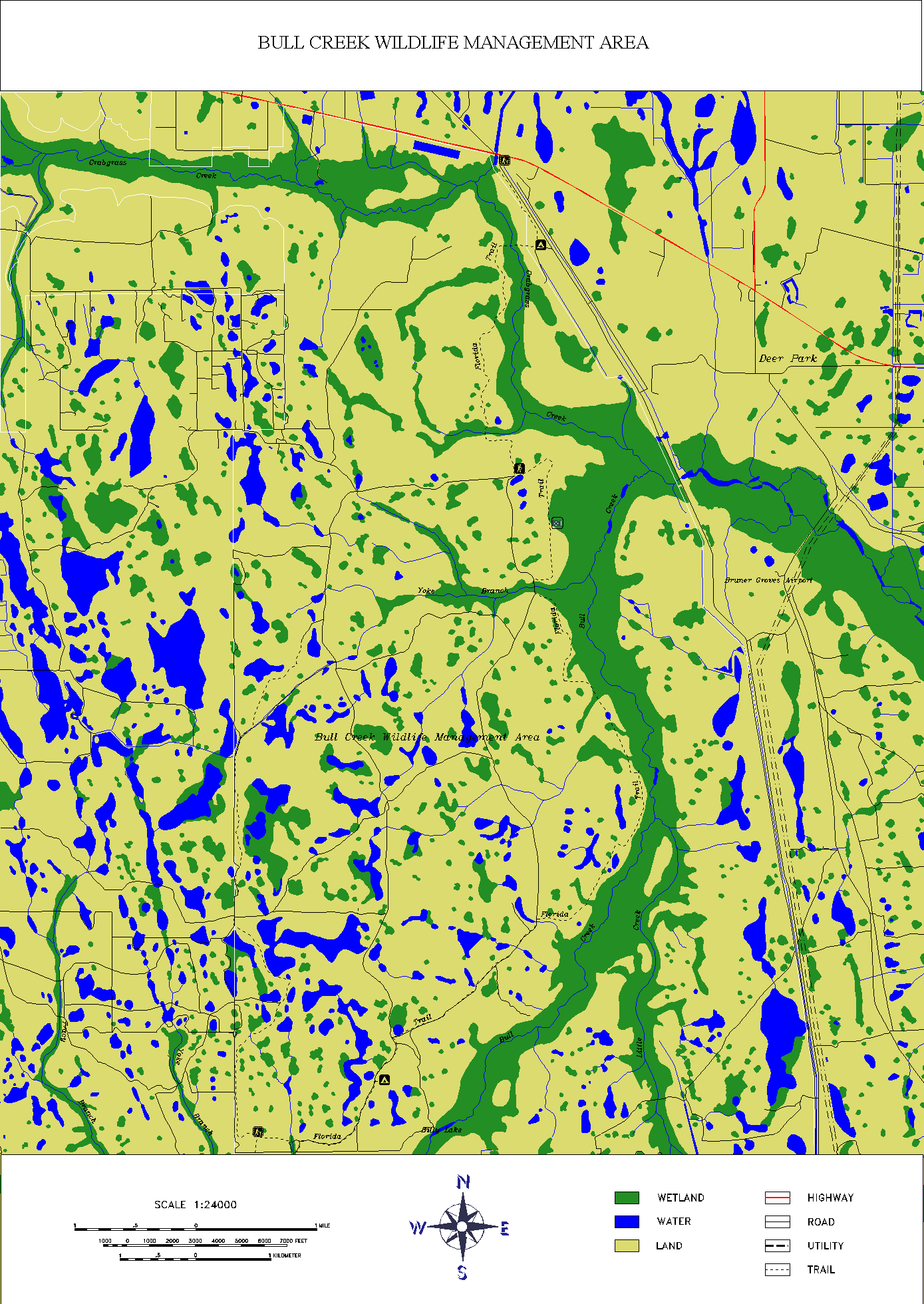
- Old Digital Line Graph (DLG) map showing roads, trails,
creeks, wetlands and other features. Note: Some of the trail data is
outdated.
- Infrared Aerial Map from 1999. Note: Some of the trail data
is outdated.
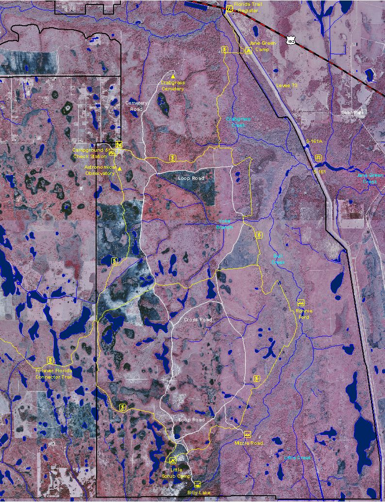
- Google Map with trail data and photos from Panoramio.

- George W. Hopkins Plat Map from 1915 (Google Earth
required)
- SJRWMD Topo Maps from 1920 (Google Earth required)
- Aerial Maps from 1944 (Google Earth required)

- Map of Post Offices from 1896 to 1955 (Google Earth required)

GPS Data
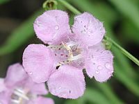
Flowers
Local Weather

Trail Reports
Additional Information
Last
updated on 18-Nov-2013.