Three Forks Marsh Conservation Area
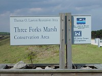
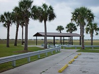
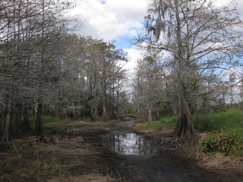
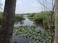
Three Forks encompasses nearly 52,000 acres of marsh
lands near the headwaters of the St. Johns River. The first signs of
the river
appear as a three prong fork (hence the name Three Forks) just south of
Lake Hell 'n Blazes.
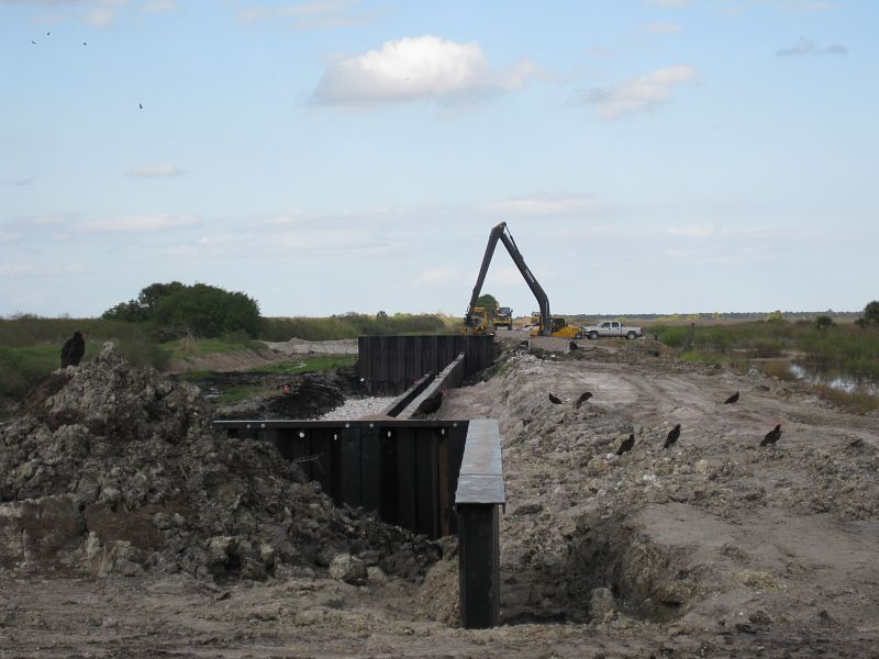
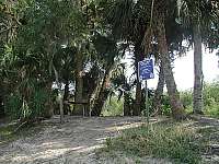
At Three Forks, a vast network of levees is being
constructed to impound the water runoff from neighboring agricultural
lands. Much of it has already been completed and is open to the public.
360º panoramic
shot of the Three Forks Marsh area.
Location
Located in west Brevard County near Palm Bay, Florida. Runs
along the eastern edge of the St. Johns River between US Hwy 192 and
the Fellsmere Grade.
Directions
From I-95 exit 173, take CR 514 (Malabar Road) west until it
dead ends (about 8 miles). Park entrance will be on your left.
Hours
Area is open from 7:00 A.M. until 8:30 P.M. Gates close
promptly so don't get locked in.
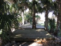
Camping

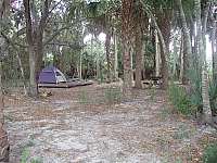
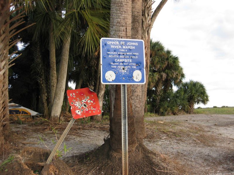
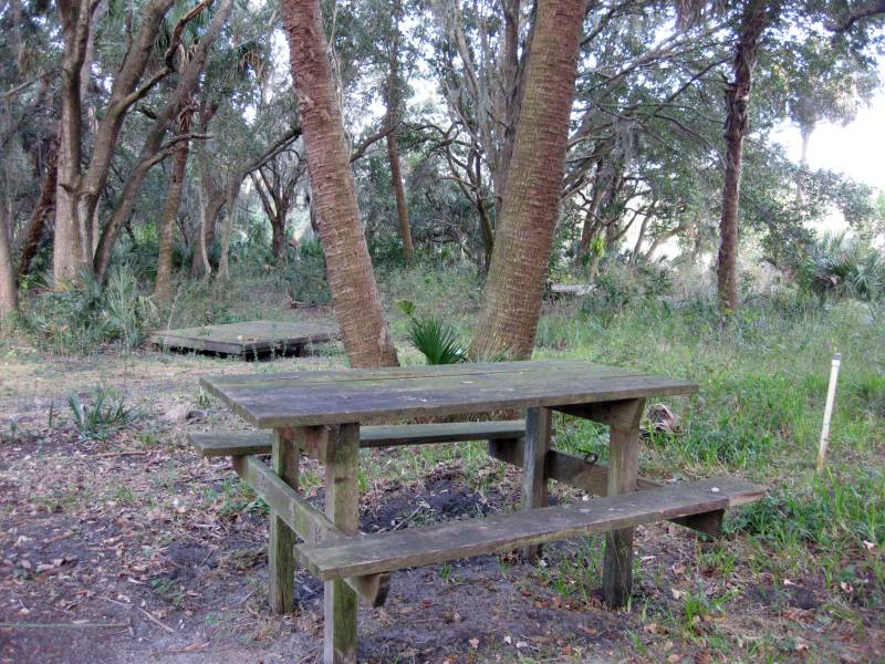
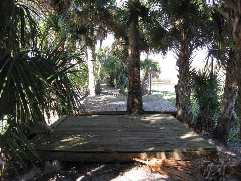
Three Forks has four primitive campsites: Bulldozer Canal
Camp, Spade Island Camp, East Union Cypress Camp and North Indian Field
Camp. These campsites are usually only accessible by boat. At the North
Indian Field campsites, you'll find numerous raised platforms for
tents, nice picnic tables and in-ground grills.
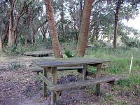
At East Union Cypress campsite is located on top of the old
railroad grade. It has two tent pads and a table overlooking Little
Sawgrass Lake.
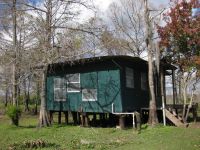

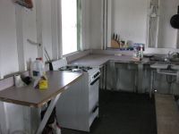

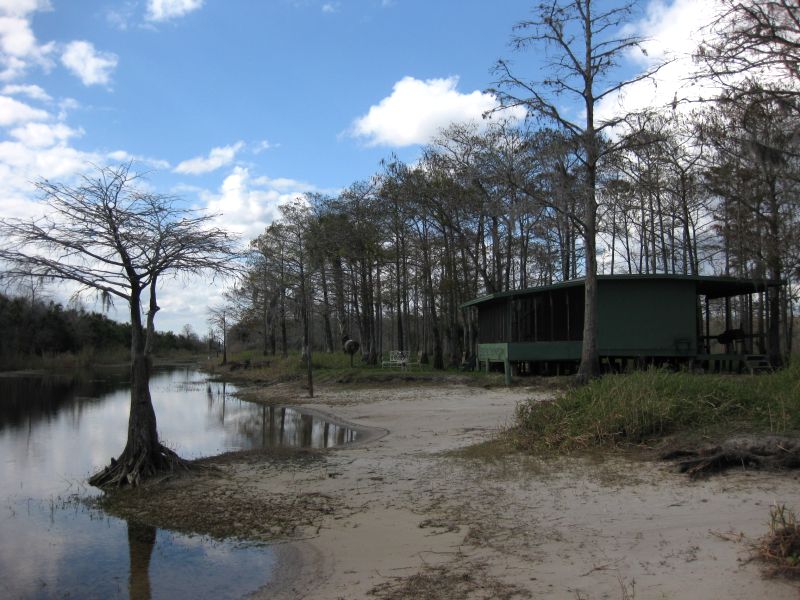
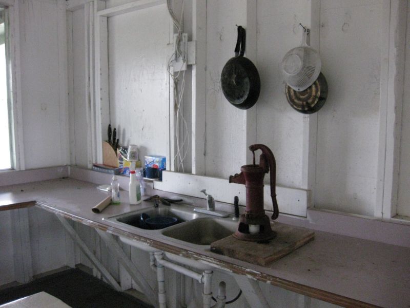
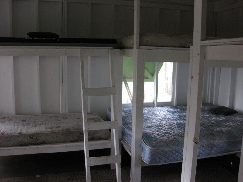
Bulldozer Canal campsite includes two rustic
cabins. Each has a propane stove, well pump and hookups for
an electric generator. One has enough bunk beds for eight
people.
Shelters
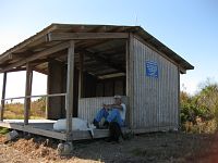
You're a long ways from civilization if you find yourself in
this spot. Willows Shelter is about 6.6 miles from the nearest parking lot.
It's typically used by boaters in the event they get caught out on the
river during a storm. You don't want to break down out here.
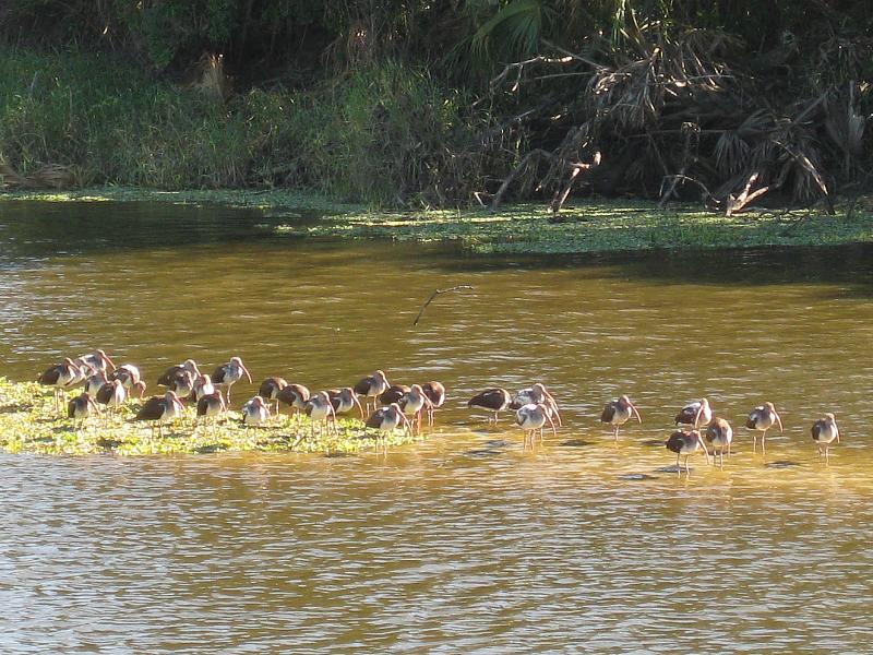
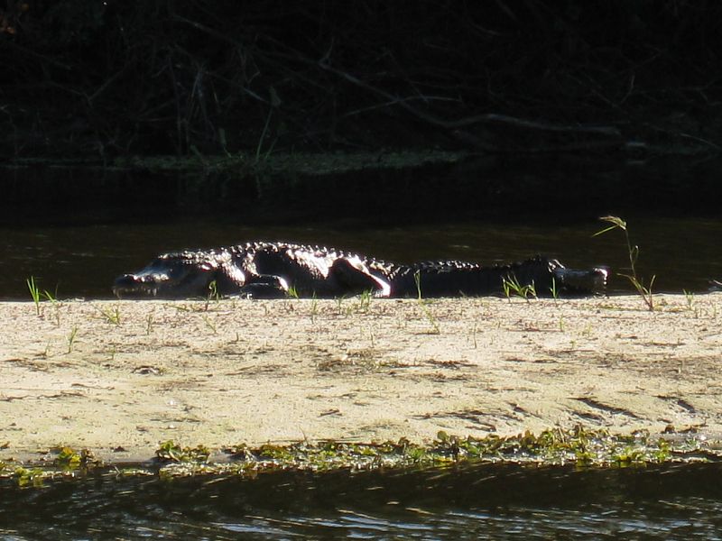
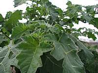
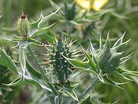
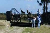
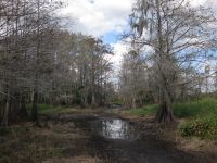
Wildlife
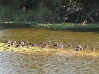
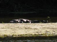
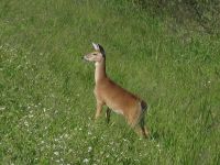
You're likely to see plenty of aquatic birds, such as
ibises, herons and anhinga. Of course, where there's water there's
alligators. Big ones too. Surprisingly there are quite a few deer in
this area. They must like all the grass and the wide open
areas.
History
The north end of Three Forks has seen a lot of history.
Between 1912 and 1932 the Union Cypress Railroad use to cross
this area and over the St. Johns River. You can still see the trestles
and the raised ground it was on. One of the train stations known as
Alpha was built not far from where the railroad crossed the river on
the east side.
During that same time period up until 1937 Pershing Platt
and his family use to live on the Indian midden known as North Indian
Fields. There's no sign of their house anymore, but you can still see
the road that was built by the county so the family could ride into
town. Half the year it was underwater due to the summer rains.
Three Forks has three Indian middens: the South Indian
Fields (privately owned), located at the end of Malabar Road; the
Middle Indian Fields, located 1.5 miles northwest of South Indian
Fields; and the North Indian Fields, situated .25 miles southeast of
Little Sawgrass Lake.
Hunting
The Florida Fish and Wildlife Conservation Commission manages hunting
in the Three Forks Marshes. For up-to-date information on regulations
and current
hunting schedules, please go to MyFWC.com.
| Hunting Schedule 2012 - 2013 |
| Archery |
Sep. 15 - Oct. 14 |
| Muzzle Gun |
Oct. 20 - 28 |
| General Gun |
Nov. 3 - Jan. 13 |
| Small Game |
Jan. 14 - Mar. 3 |
| Youth Turkey |
Mar. 9 - 10 |
| Spring Turkey |
Mar. 16 - Apr. 21 |
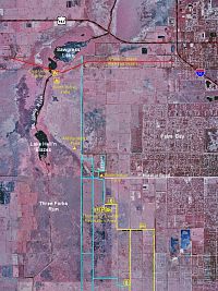
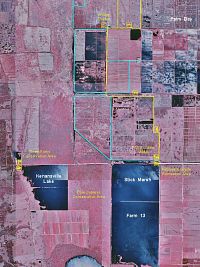
Maps
- Color infrared aerial maps of northern
and southern parts of
Three Forks Marsh. Shows roads and trails.
GPS Data
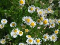
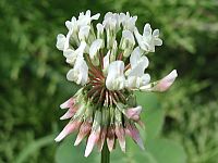
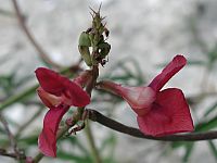
Flowers
Local Weather

Trail Notes
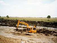
- 11-Dec-2008: It's been almost 7 years and the north side of
three forks is still closed due to construction. Work is being done on
the outflow dam near the St. Johns River. Hopefully that means they
will be getting ready to flood this area soon. Took the boat out and
finally got a chance to see the Bulldozer Cabins (see photos above).
The water was just barely high enough to get down the canal. Very
interesting place. Looking forward to exploring more of this area and
the Jane Green Swamp.

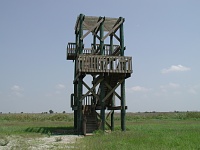
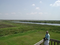
- 27-Apr-2002: T. M. Goodwin Waterfowl Management Area
located next to Three Forks now has an observation tower overlooking
Lake Goodwin. Offers great unobstructed views of the surrounding
marshlands. You can get to it by car only on Mondays and Thursdays from
9:00 to 4:00. All other times, you must hike or bike in from Fellsmere
Grade (about 2.5 miles away).
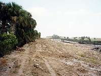
- 26-Jan-2002: North side of Three Forks is still closed due
to construction. A new entrance sign and kiosk have been placed at the
Malabar Road entrance. Still no water at the Thomas O. Lawton boat
ramp. All of the levee roads are in excellent condition for bike riding
and hiking.
- 15-Apr-2001: Roads on the levee are in excellent
condition for bike riding. Trail markers have been extended all the way
to Fellsmere Grade. Work is underway to convert some more farmland to
wetlands near the end of Willowbrook Road. The northern section of
Three Forks is still closed to the public due to
construction.
Additional Information
Last
updated on 21-Mar-2013.