Tosohatchee Wildlife Management Area
Visitors can come and see what is considered the largest
stand of cypress forest still left
uncut in the state of Florida. Over 900 acres of virgin cypress trees
can be found growing along Jim Creek. Tosohatchee also has some of the
oldest
slash pines, some nearly 250 years old. Recreational
activities
include hiking, bird watching, fishing, horseback riding and limited
hunting.


Entrance
sign, office and information kiosk
Location
This wildlife management area is comprised of
approximately 30,700 acres
located along the St. Johns River in east Orange County.
Directions
Main
Entrance:
From
Interstate 95, take exit 215 and head west towards Orlando on State
Road
50. After about 10 miles, turn left on Taylor Creek Road and
follow it for about 3 miles. The entrance to Tosohatchee WMA will be on
your left just after you cross the Taylor Creek bridge. GPS
coordinates: N28°
29.901 W80° 59.847.
South
Tosohatchee Entrance:
From
Interstate 95, take exit 201 and head west towards Orlando
on State Road 520. After about 6.8 miles, you should see a
tall
chain-link fence with a gate on your left. This is
the
entrance to South Tosohatchee. Please be sure to close gate upon entry.
GPS coordinates: N28°
22.426 W80° 54.254.
Hours
The area is open from 8:00 A.M. until dusk, 365 days of
the year.
Entrance Fees
Self-pay (cash or personal check) at the entrance kiosk: $3
per vehicle. Admission is free if you are thru-hiker on the Florida
National Scenic Trail. You are also exempt if you're under the age of
16 or over 65, handicapped, or on military leave for 30 days
or
less.

For a laugh check out the notice
that was posted at the entrance kiosk several years ago. I guess you
can say the park ranger has heard of every excuse for not paying the
entrance fee.
History
Tosohatchee is loaded with history. Everything from time
lines, previous land owners, old buildings, abandoned timber railroads,
military trails from the Second Seminole War and Indian mounds are
covered below.
Historic
Buildings and Ruins
Time Line and Events
Oldest
Recorded Road
Tosohatchee Railway
Indian Mounds
Free Flowing
Artesian Wells
George
McCulloch's Hand Drawn Map
Cattle
Dipping Vats
Sydney O. Chase
Collection
Hiking
A 11.3 mile section of the Florida National Scenic Trail
passes through Tosohatchee. It starts at the end of St. Nicholas Road
in Christmas and ends near SR 528 at Yates Road. There's also over 22
miles of white blazed trails, interconnecting yellow trails, blue
spur/camp trails and interpretive trails through out Tosohatchee. More
than enough to satisfy the avid hiker.
Some of the best places to hike include around
Tootoosahatchee
Creek, the Beehead Ranch area and south of SR 520.


Tootoosahatchee
Creek

Foot Bridge along
Powerline Road
Camping
Tosohatchee has 3 primitive campsites: Youth Camp, Tiger
Branch Camp and Horse Camp. Each campsite is equipped with fire rings,
picnic tables and benches. Only tent camping is permitted.
Campers at the Tiger Branch campsite must leave their vehicles parked
at the Youth Camp parking area and backpack in. Horseback riders must
leave their trailers at the Horse Camp parking area.
Campers must contact the office at (407) 568-5893 at least 2
weeks in advance, no earlier than 60 days (90 days for the Youth Camp),
to make reservations. Camping fees are $4.00 per night per
person.


Youth Camp and Tiger
Branch Campsite
Fishing
Now for those fisherman out there. Tosohatchee has several
fishing spots. The most popular ones are the borrow pits just
south of the SR 528. Alligators do hang around these man-made
lakes, so swimming is not recommended. Another popular spot to
go
fishing is at the end of Power Line Road where it meets the
St.
Johns
River.


Lake Charlie
and the St. Johns River
Hunting
The Florida Fish and Wildlife Conservation Commission
manages hunting at Tosohatchee. For up-to-date information on
regulations and
current
hunting schedules, please go to MyFWC.com.

Checkstation
| Hunting Schedule 2016 - 2017 |
| Archery |
Oct. 6 - 9, 13 - 16 |
| Muzzle Gun |
Oct. 27 - 30, Nov. 3 - 6 |
| General Gun |
Nov. 17 - 20, 25 - 27 |
| Wild Hog - Dog |
Jan 13 - 19, Feb. 10 - 16 |
| Spring Turkey |
Mar. 18 - 20, 31 - Apr. 2, 14 - 16 |
Maps
These are some of the maps for the Tosohatchee WMA. You
can enlarge them by clicking on the thumbnail
image. Printer versions of the maps require Adobe
Reader.
- Scanned image
of the trail map available at the entrance kiosk.
- Detailed map
showing hiking trails, camping sites and other park features. This map
also includes U.S.
Geological Survey's (USGS) digital line graph (DLG) data,
which shows streams, rivers, lakes, wetlands, roads, railroads, power
lines, buildings and other geographic and man-made features.
")
- Two topographical maps
showing the northern half and the southern half of the Tosohatchee WMA.
Map features include hiking trails, roads
and points of interests.
- Color infrared aerial
maps of north
and south Tosohatchee
showing hiking
trails, campsites and roads.
- Google Map of Charles H. Bronson State Forest
showing hiking trails, points of interests and Panoramio photos.

GPS Data
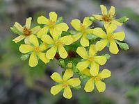
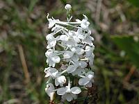
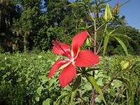
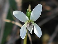
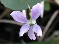
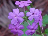
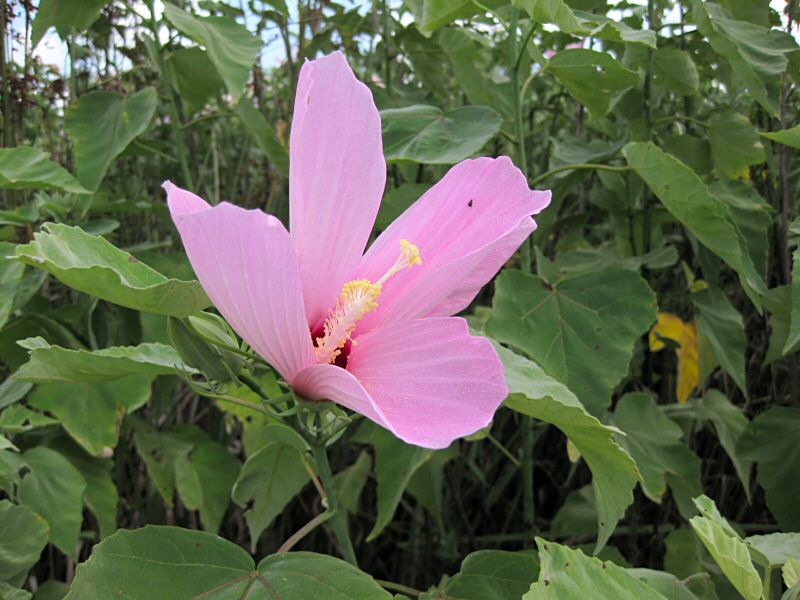
Flowers
Local Weather

Trail Notes
- 2013-03-07: The dog leg turn in northern section
of the Florida National Scenic Trail has been removed. Trail
now comes out closer to St. Nicholas Road. All
trails have been mowed which probably hasn't been done in a
long, long time if ever.
- 2012-04-12: The well at Tiger Branch
Campsite is back in action, although the pitcher pump needs a lot of
priming. Boy Scouts will soon be replacing the benches.
- 2012-04-06: According to Doug Sphar, a prescibed
burn has destroyed the Tiger Branch Campsite. This place must
be jinxed. A 1998 fire also wiped out the camp including the old Turkey
Cabin. Strangely the plastic pit toilet survived the flames.
- 2012-03-08: A new foot bridge now spans
Tootoosahatchee Creek. Thanks to the hard work of FTA's
Indian River Chapter and the FWC. The bridge is made out of
huge power poles that were once used along Powerline Road.


- 2012-02-02: The old Tootoosahatchee Bridge has
finally bid us farewell. It went adrift several weeks ago
after a record amount of rain caused the creek to overflow its banks.

- Old Trail Notes
Additional Information
Last
updated on 15-Sep-2016.


")